Multi-Estate Spring 2026 Auction
Lot 457:
Sold for: $10
Description
C-19542
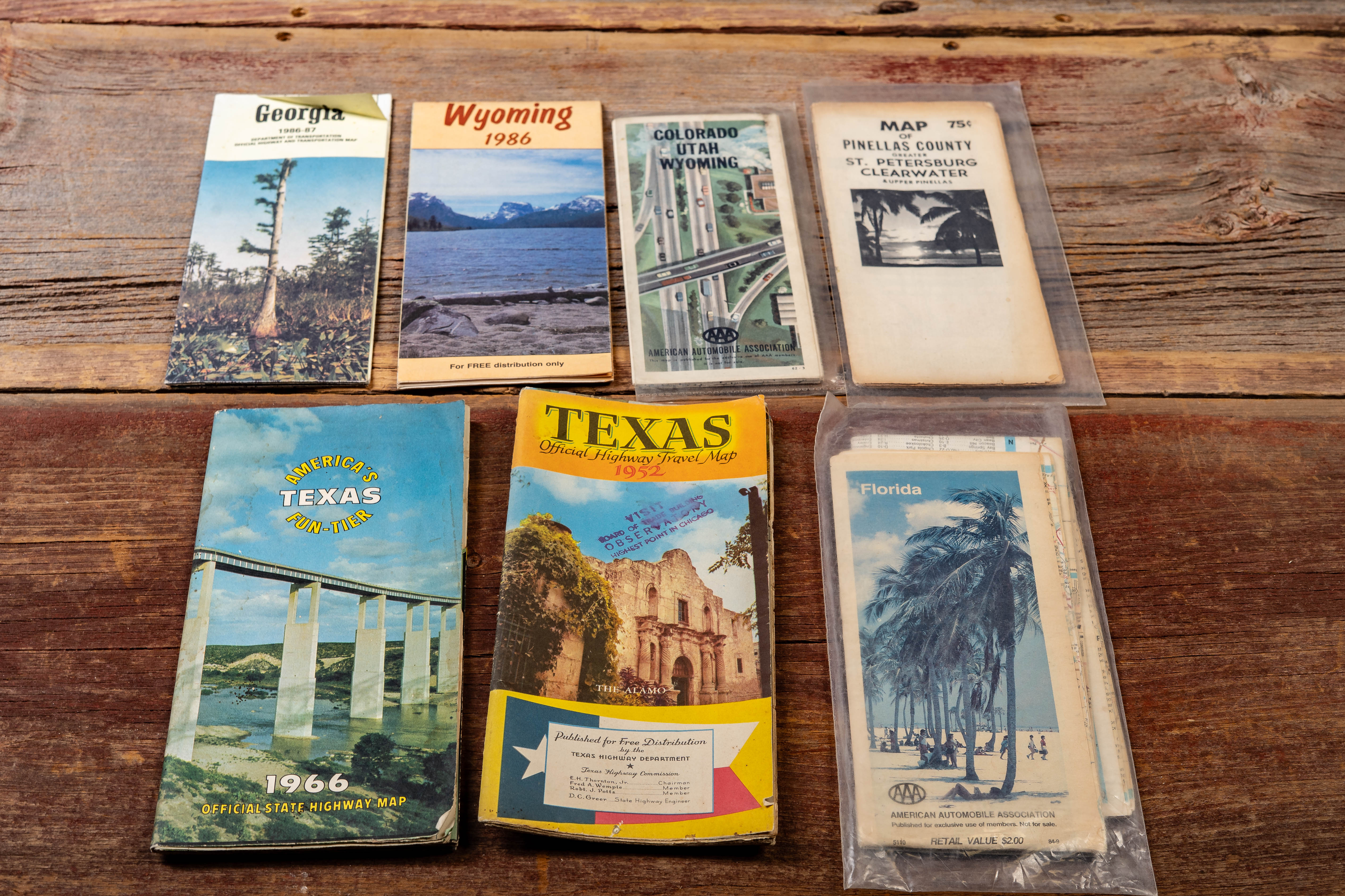
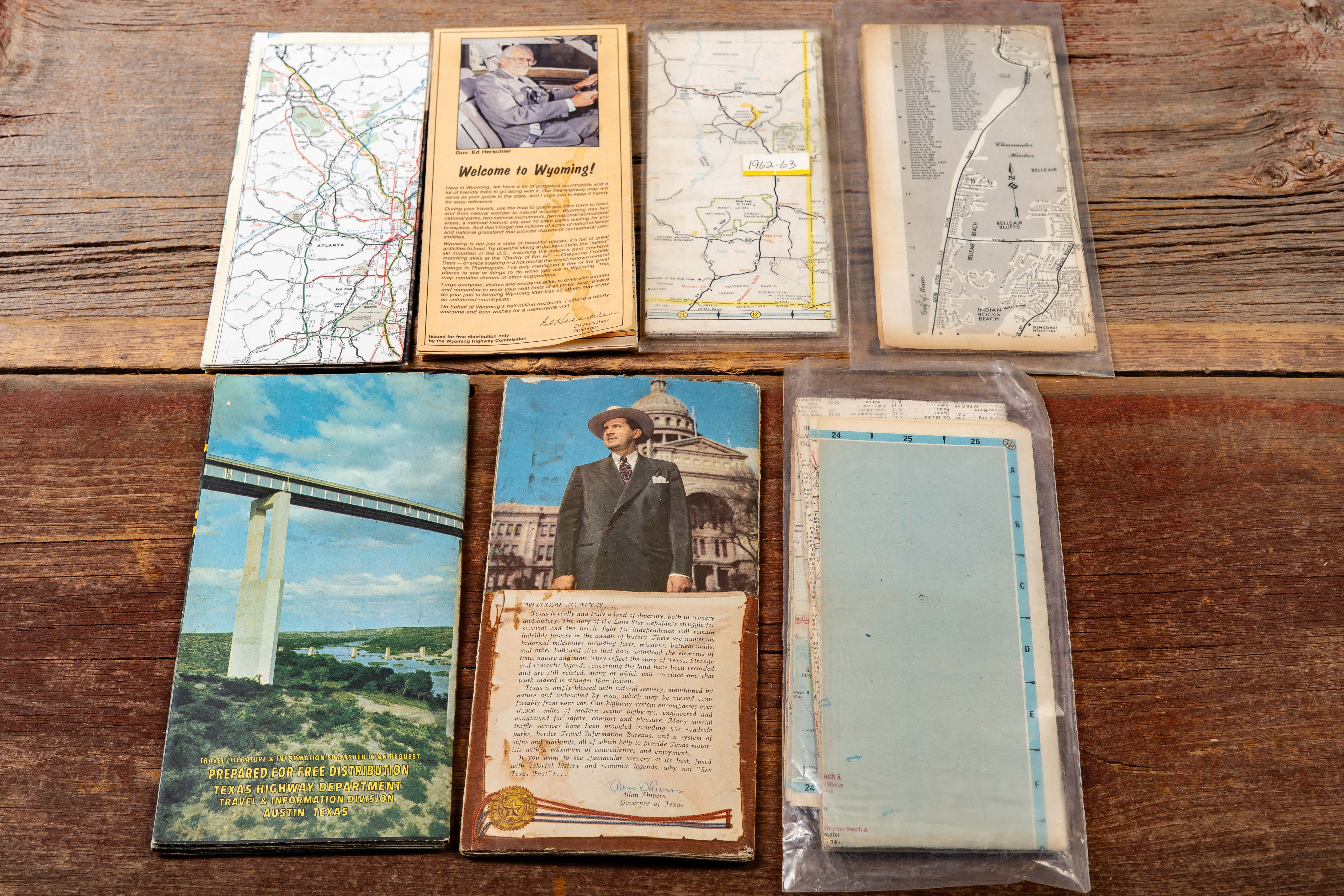
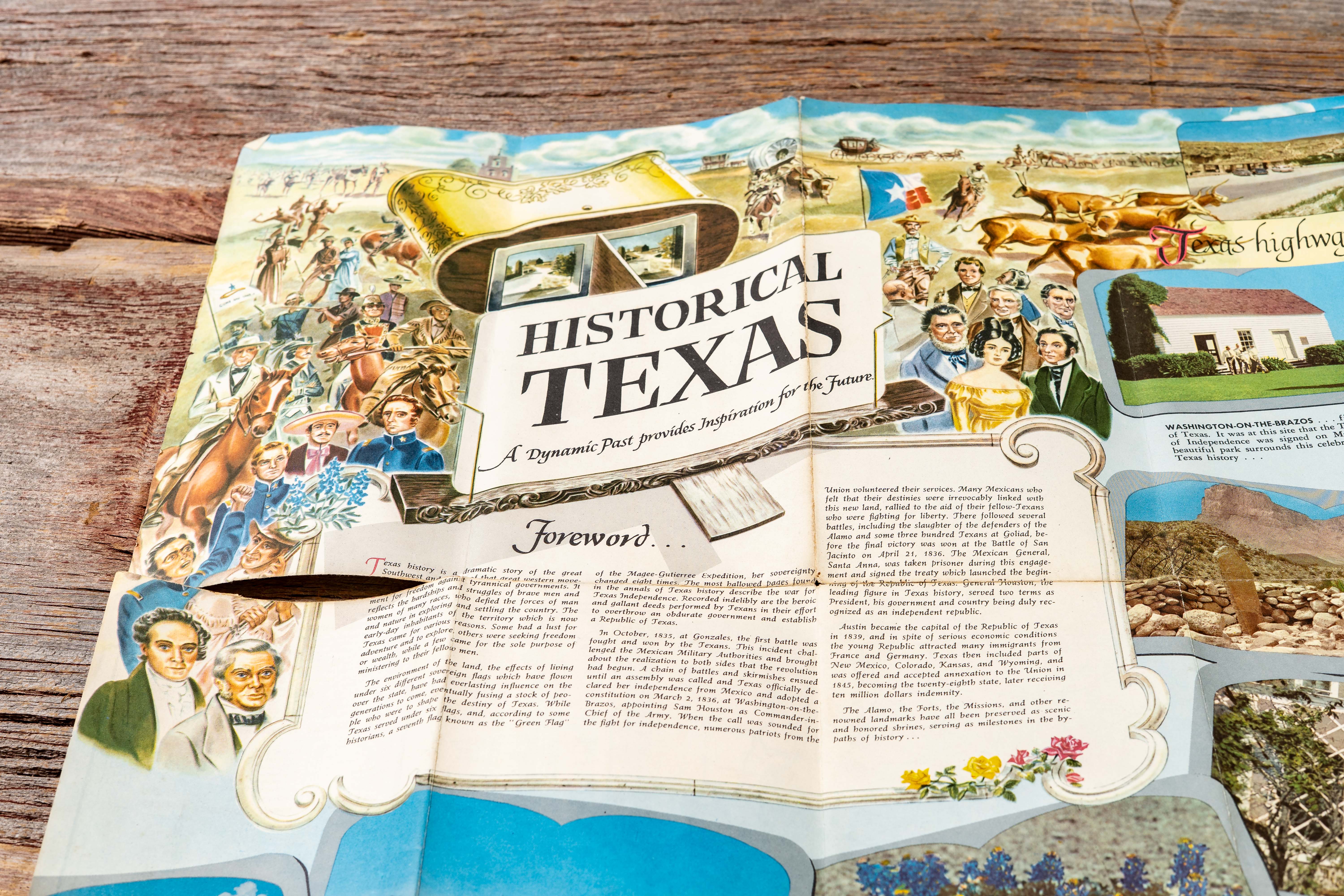
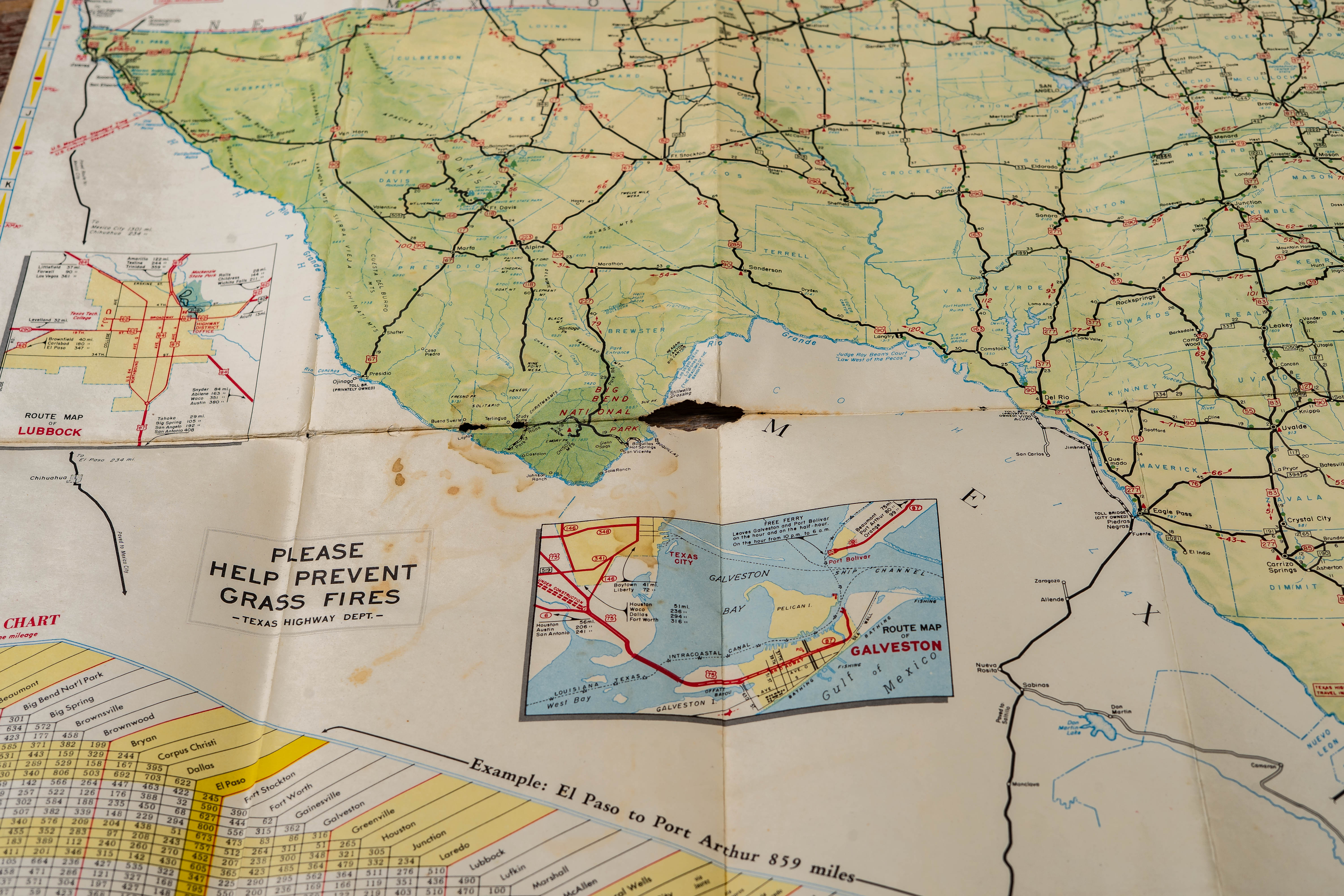
Collection of seven assorted American highway and travel maps issued by state highway departments, automobile associations, and regional publishers. Examples include Georgia, Wyoming (1986), an AAA regional map for Colorado, Utah, and Wyoming, a Pinellas County / St. Petersburg / Clearwater, Florida map, a 1966 Texas Official State Highway Map, a 1952 Texas Official Highway Travel Map, and an AAA Florida road map. The group reflects several decades of changing road networks and tourism promotion across the United States.
Covers feature scenic photography and mid-century travel imagery including coastal views, mountain landscapes, and iconic Texas landmarks such as The Alamo. Interiors present detailed highway systems, mileage charts, and city insets typical of the period. The Texas maps show extensive statewide road networks with inset maps such as Galveston and major metropolitan areas, illustrating the growth of long-distance automobile travel in the Southwest and Gulf Coast regions.
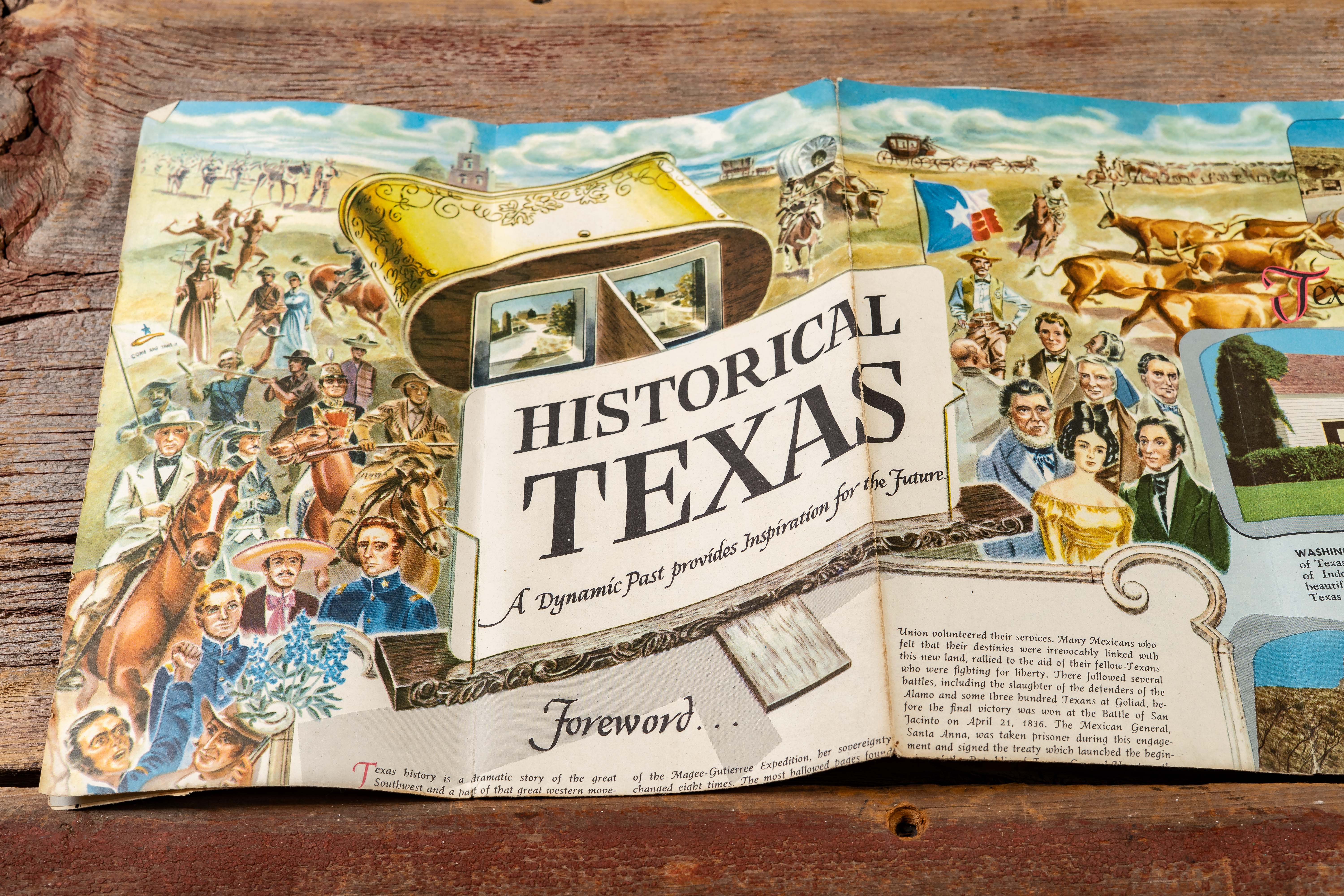
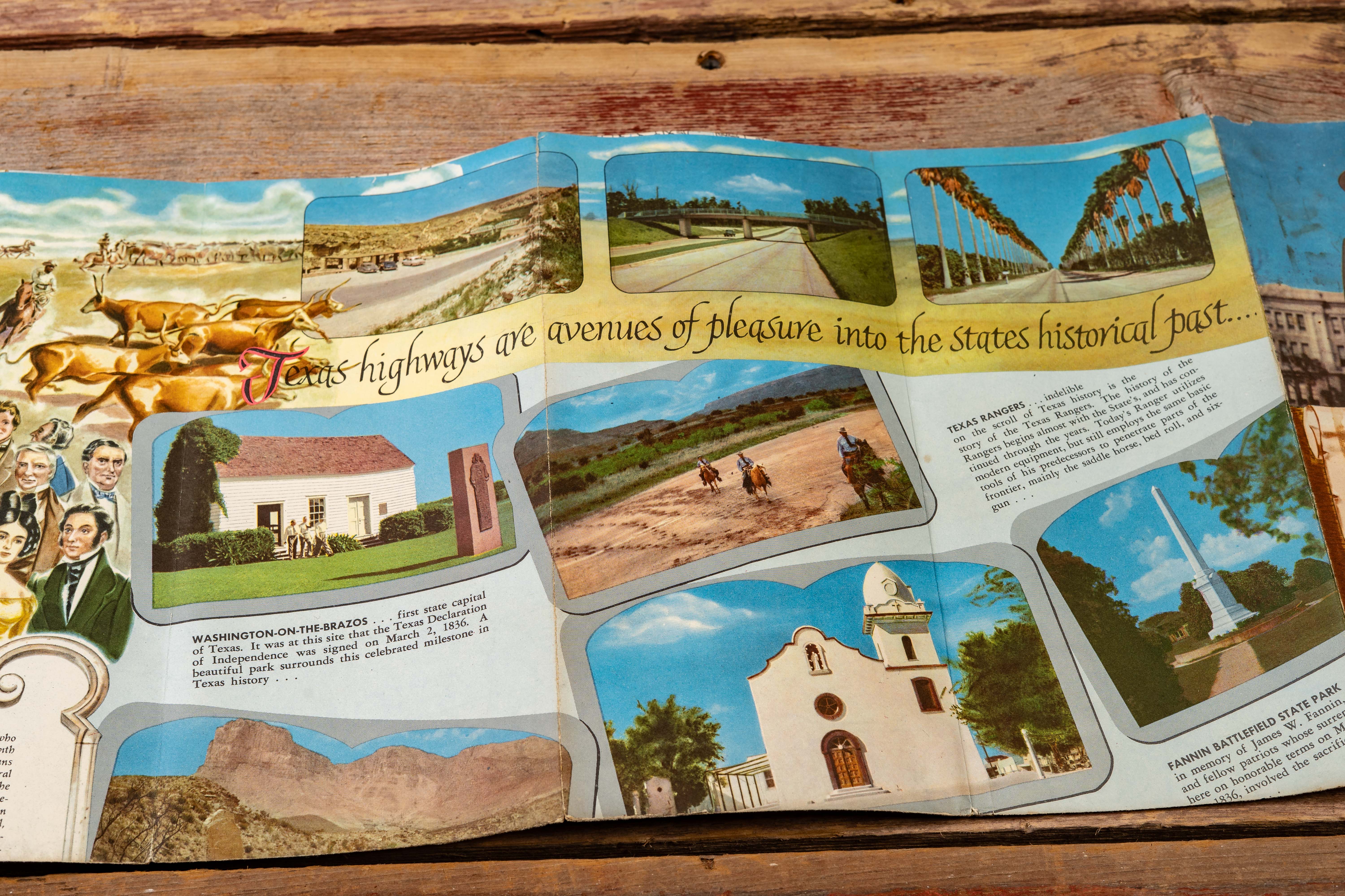
Shows moderate age-related wear including fold lines, creased corners, and scattered staining. One Texas map exhibits visible tears and staining along fold lines, as shown in the photographs. Several examples remain housed in protective sleeves.
Share this lot: