Multi-Estate Spring 2026 Auction
Lot 456:
Description
C-19541
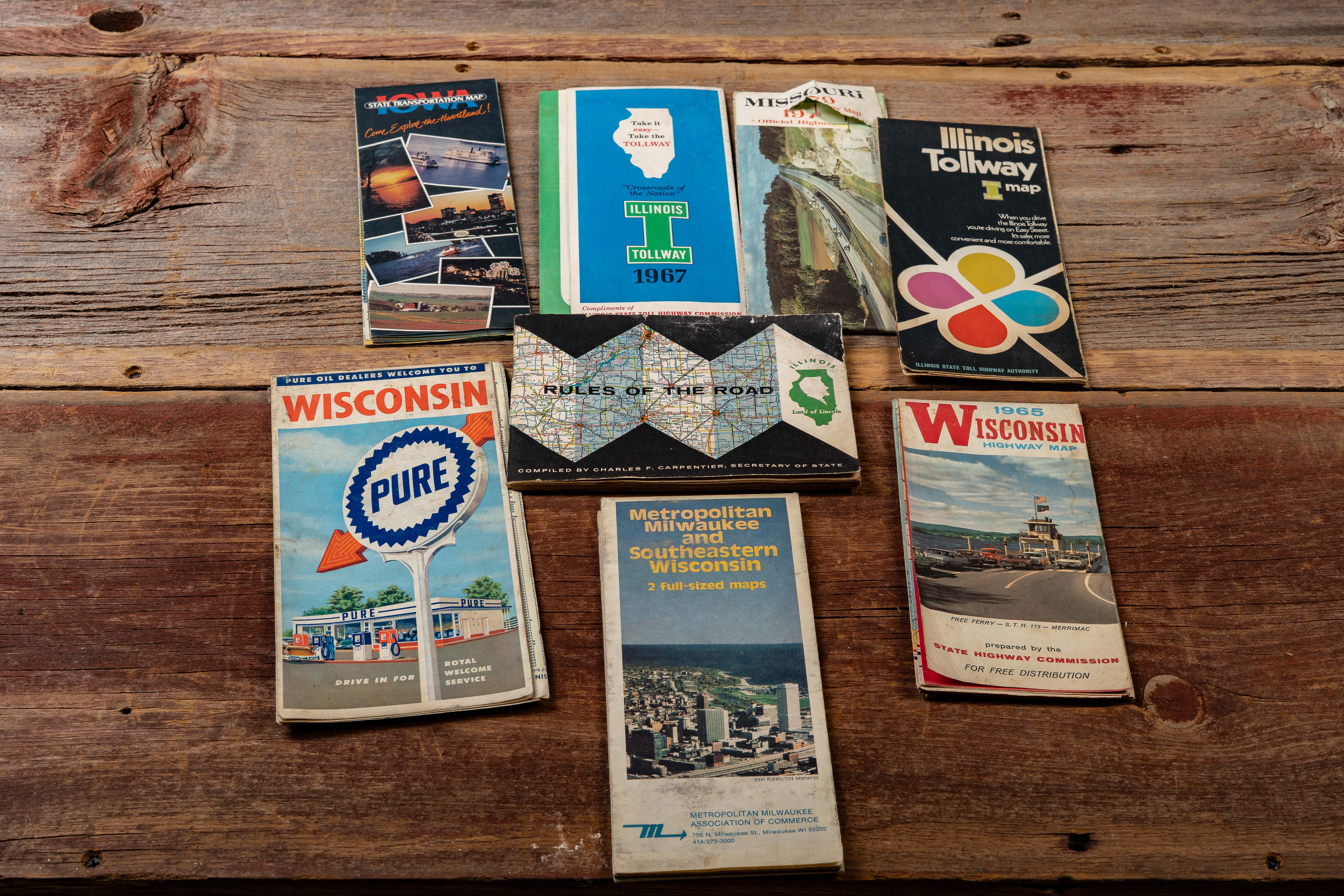
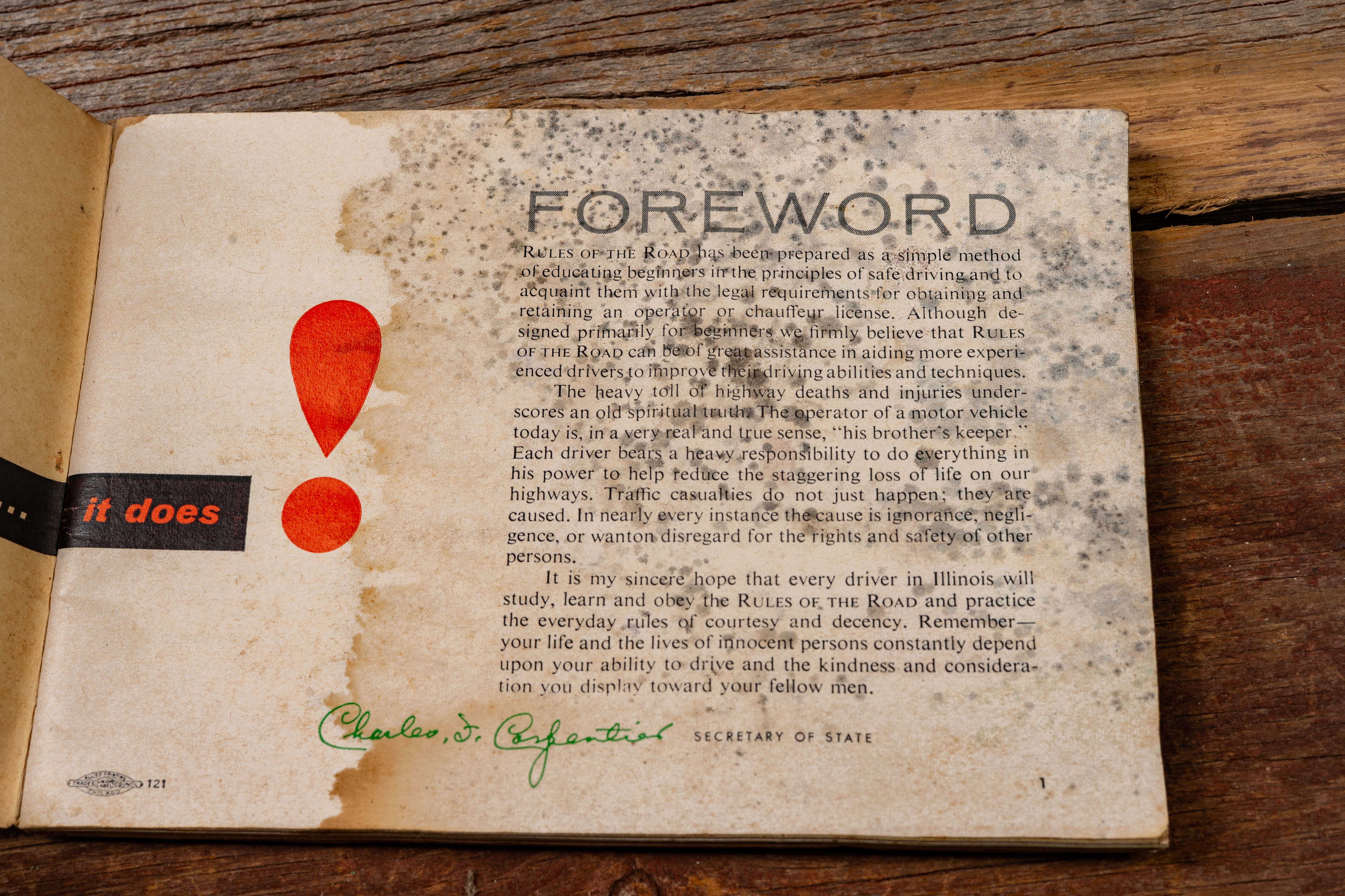
Collection of eight mid-century American highway maps and travel guides issued by state highway departments, oil companies, and regional tourism organizations. The lot includes examples such as an Illinois Tollway map (1967), Illinois State Transportation map, Missouri Official Highway Map (1979), 1966 Wisconsin Highway Map, a Pure Oil “Wisconsin” road map, Metropolitan Milwaukee and Southeastern Wisconsin guide, and a compact “Rules of the Road” Illinois driving manual compiled by the Illinois Secretary of State. The group reflects the varied promotional and informational materials distributed to motorists during the expansion of interstate and tollway travel.
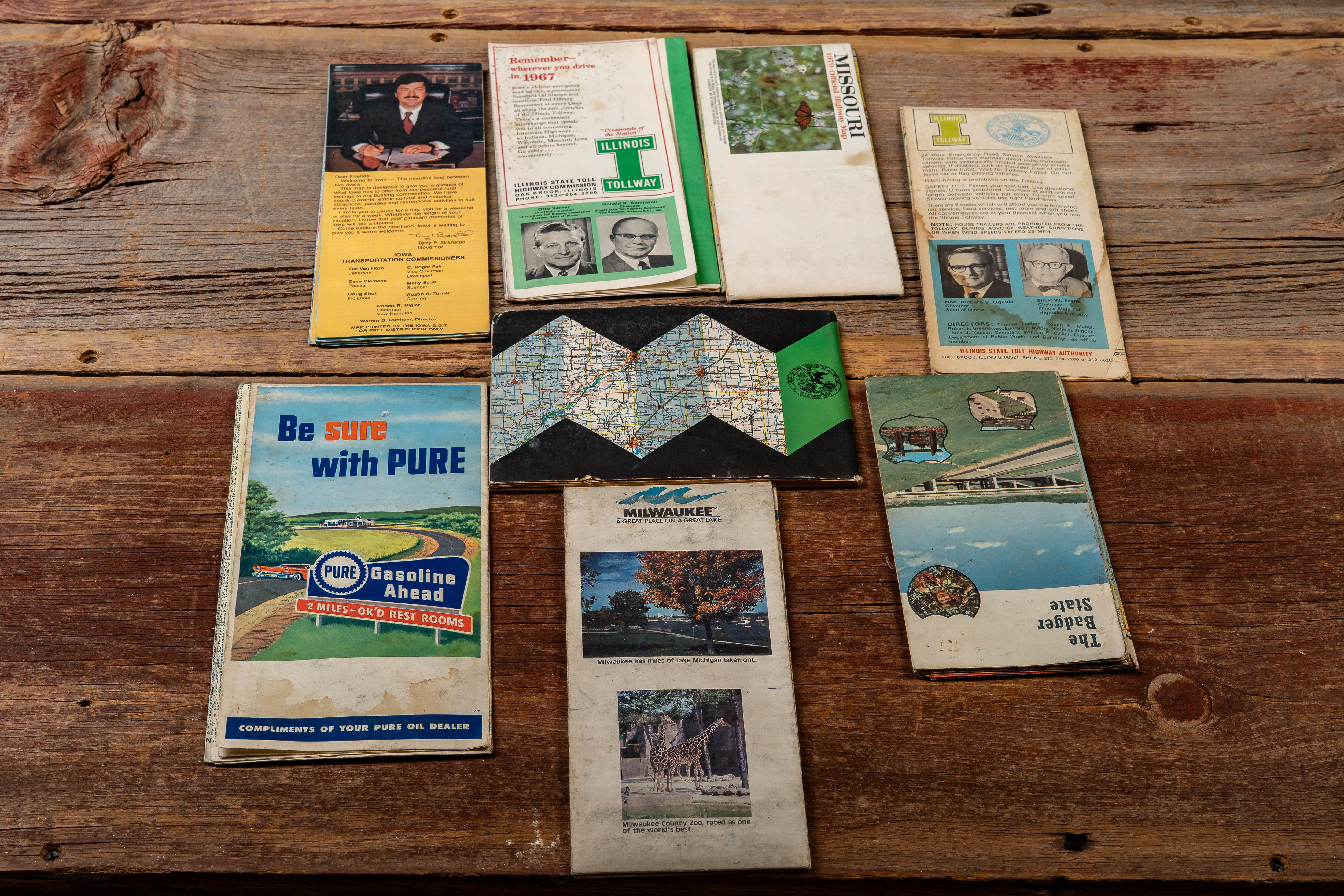
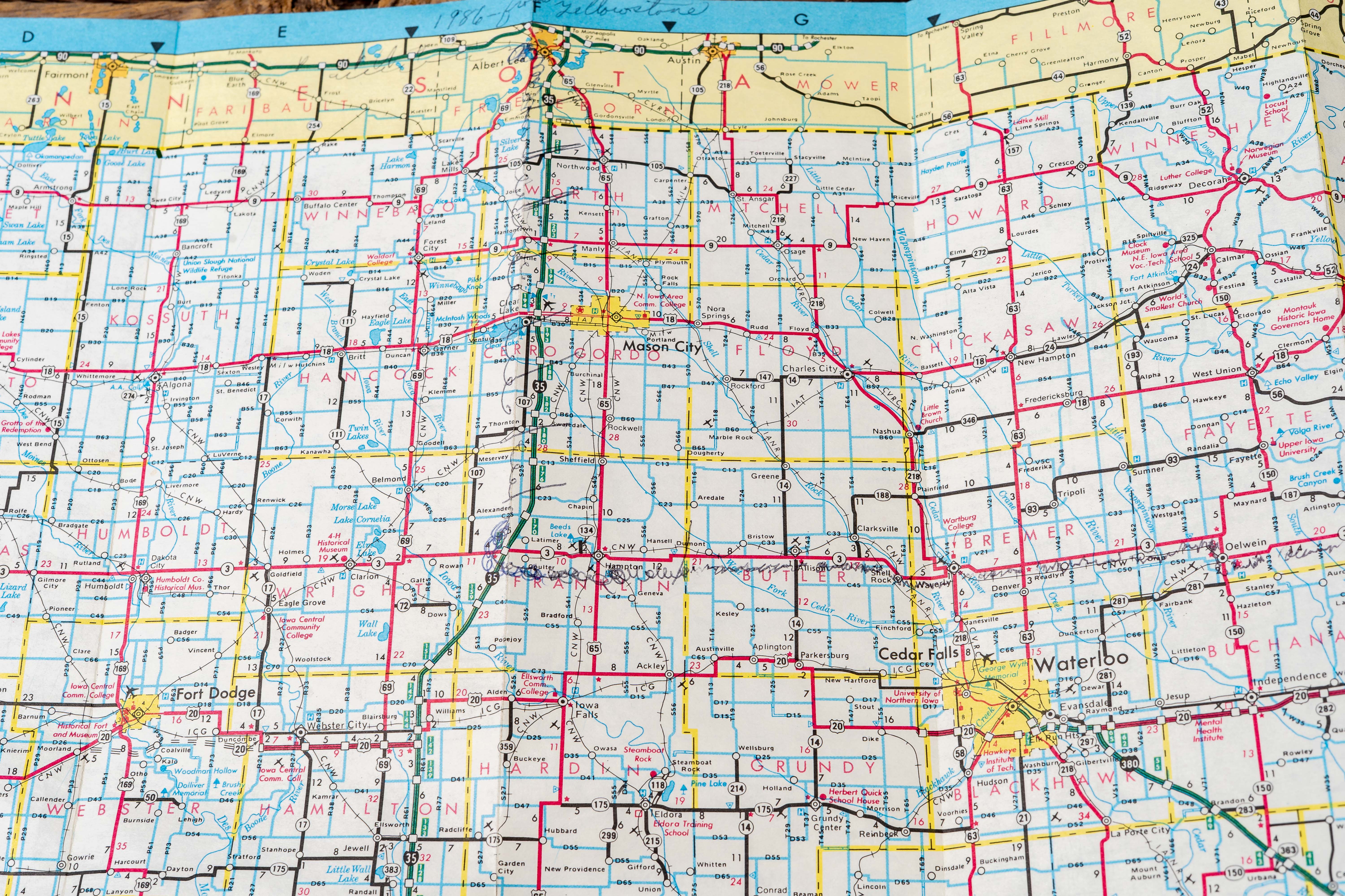
Covers feature colorful mid-century graphics including tollway branding, scenic highway photography, and petroleum advertising such as the Pure Oil service station emblem. Interiors show detailed road networks, mileage charts, and city insets across Midwestern states including Iowa, Wisconsin, and Missouri. These maps illustrate how oil companies, highway commissions, and tourism bureaus collaborated to guide travelers through regional routes, scenic attractions, and newly built highway infrastructure.
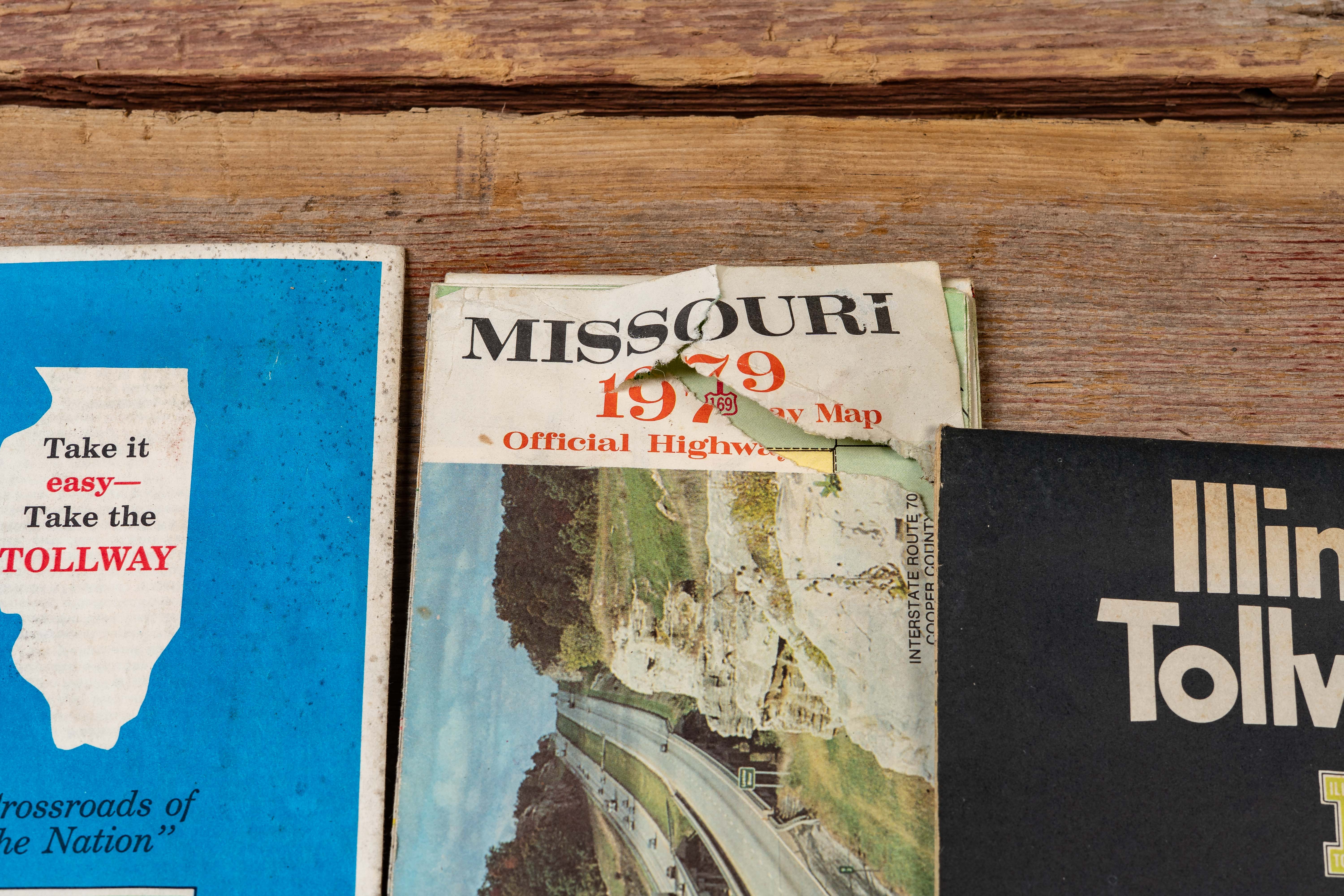
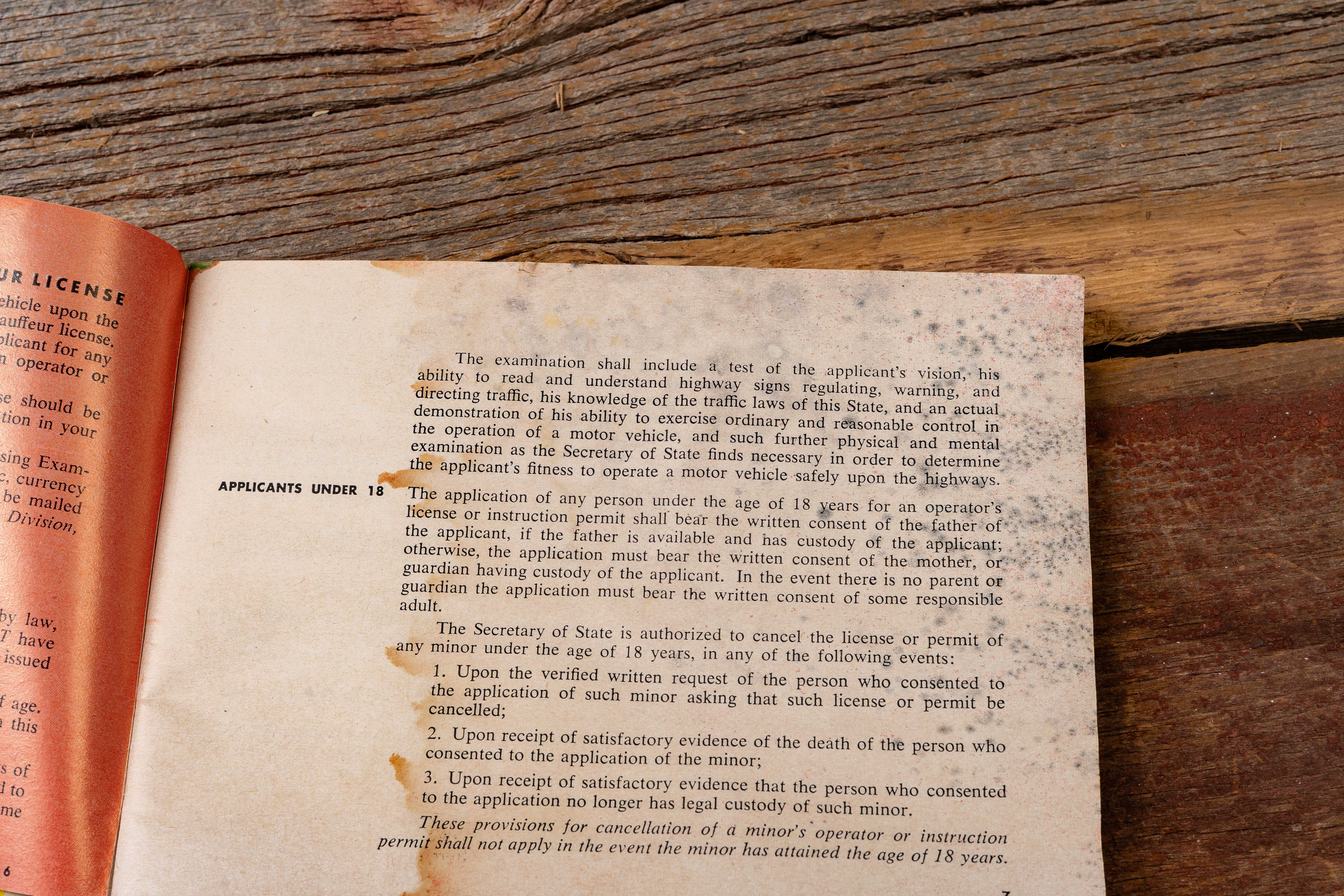
Shows moderate age-related wear including fold lines, corner creasing, and small tears along some edges. The “Rules of the Road” booklet exhibits pages that are stuck together, and one Missouri map shows noticeable edge tearing on the cover. Otherwise materials remain readable with typical handling wear for travel maps of the period.
Share this lot: