Multi-Estate Spring 2026 Auction
Lot 459:
Description
C-19544
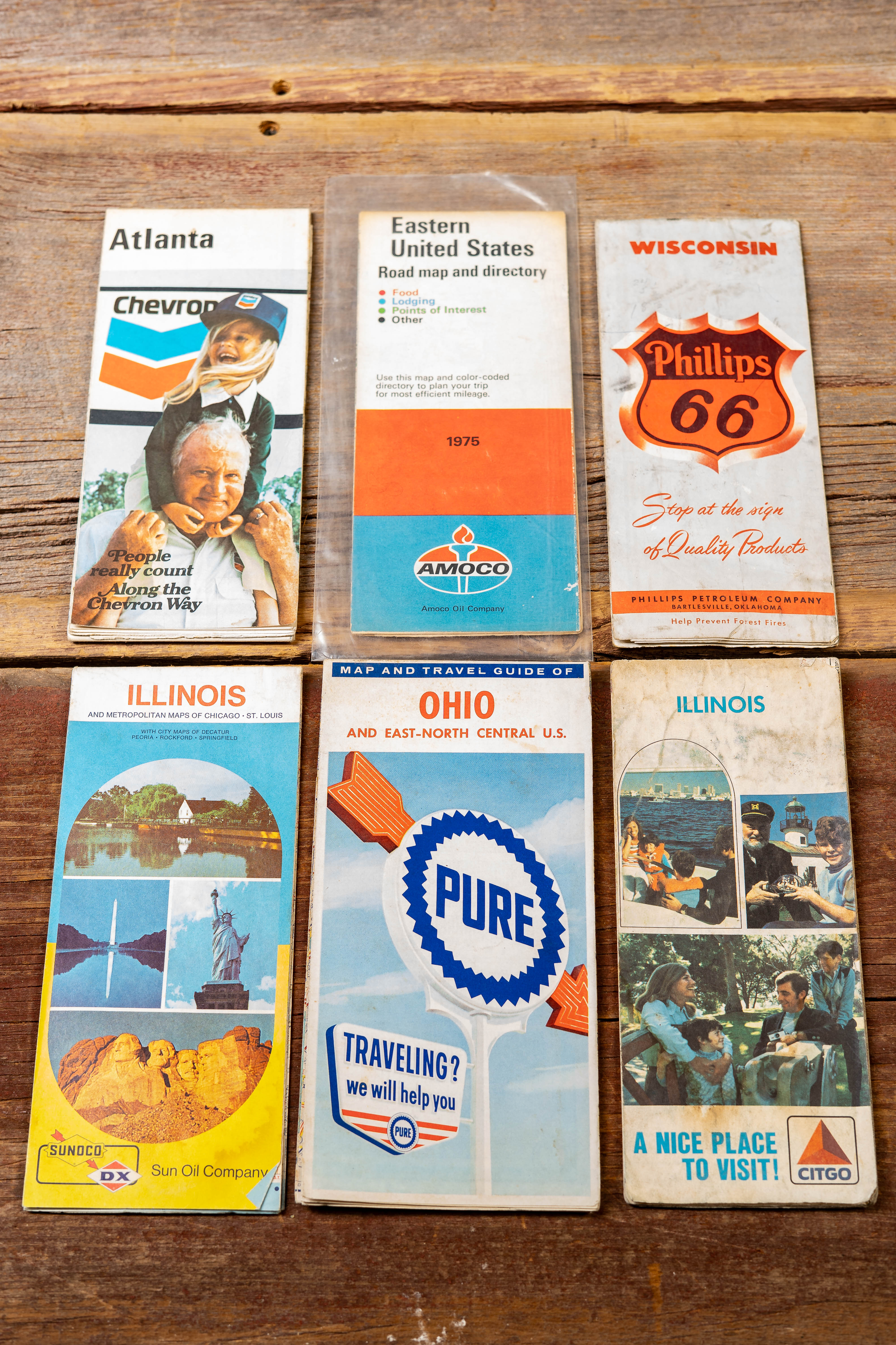
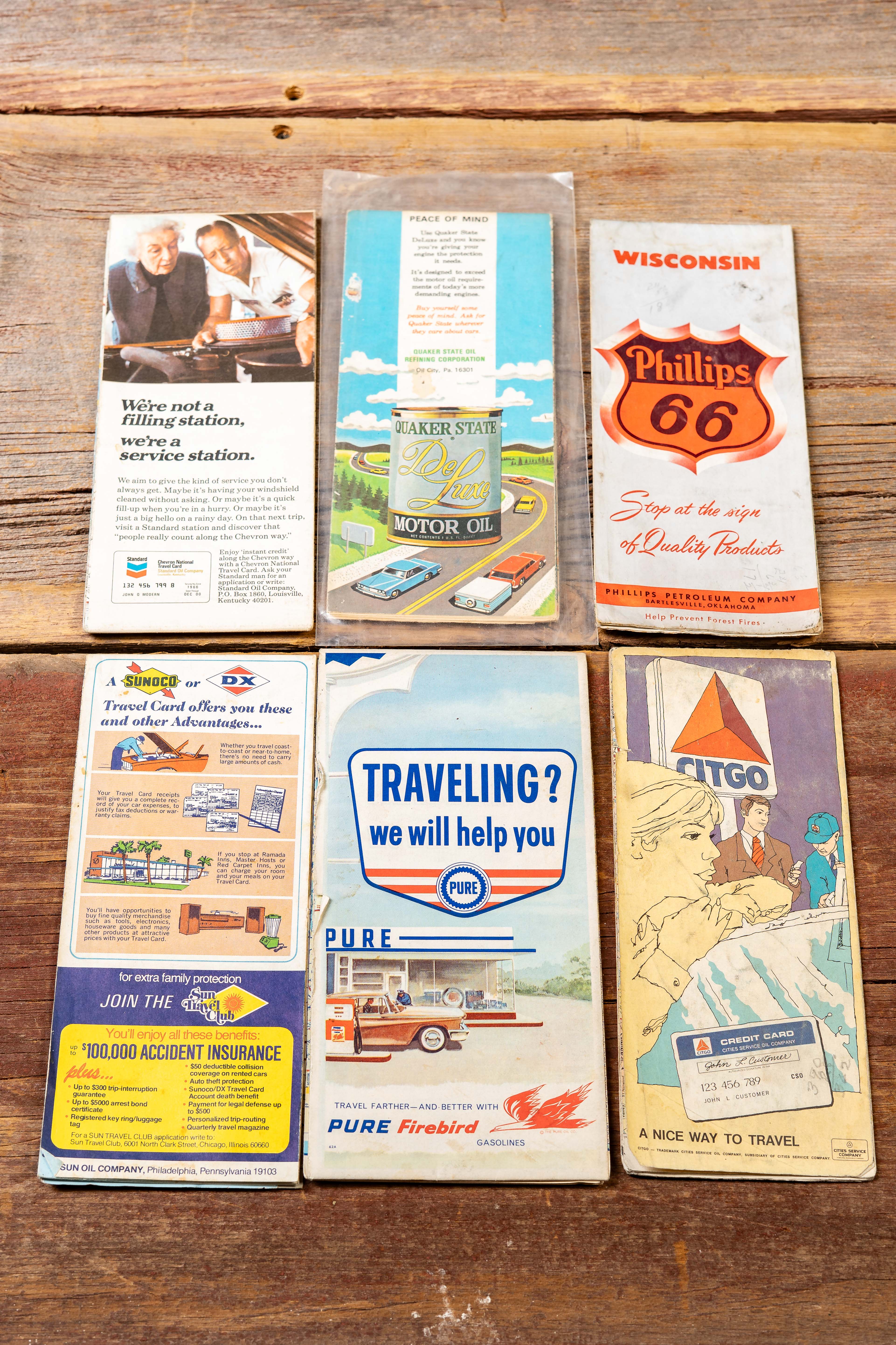
Group of six mid-century petroleum company road maps and travel guides distributed through service stations during the peak era of American highway travel. The lot includes an Atlanta Chevron road map, Eastern United States Road Map and Directory (1975) by Amoco, Wisconsin Phillips 66 highway map, Illinois map issued by Sun Oil Company (Sunoco DX), an Ohio and East-North Central U.S. guide from Pure Oil, and an Illinois Citgo travel map. Each cover features distinctive oil company branding and period advertising graphics ranging from illustrated service stations and families traveling by car to scenic regional photography.
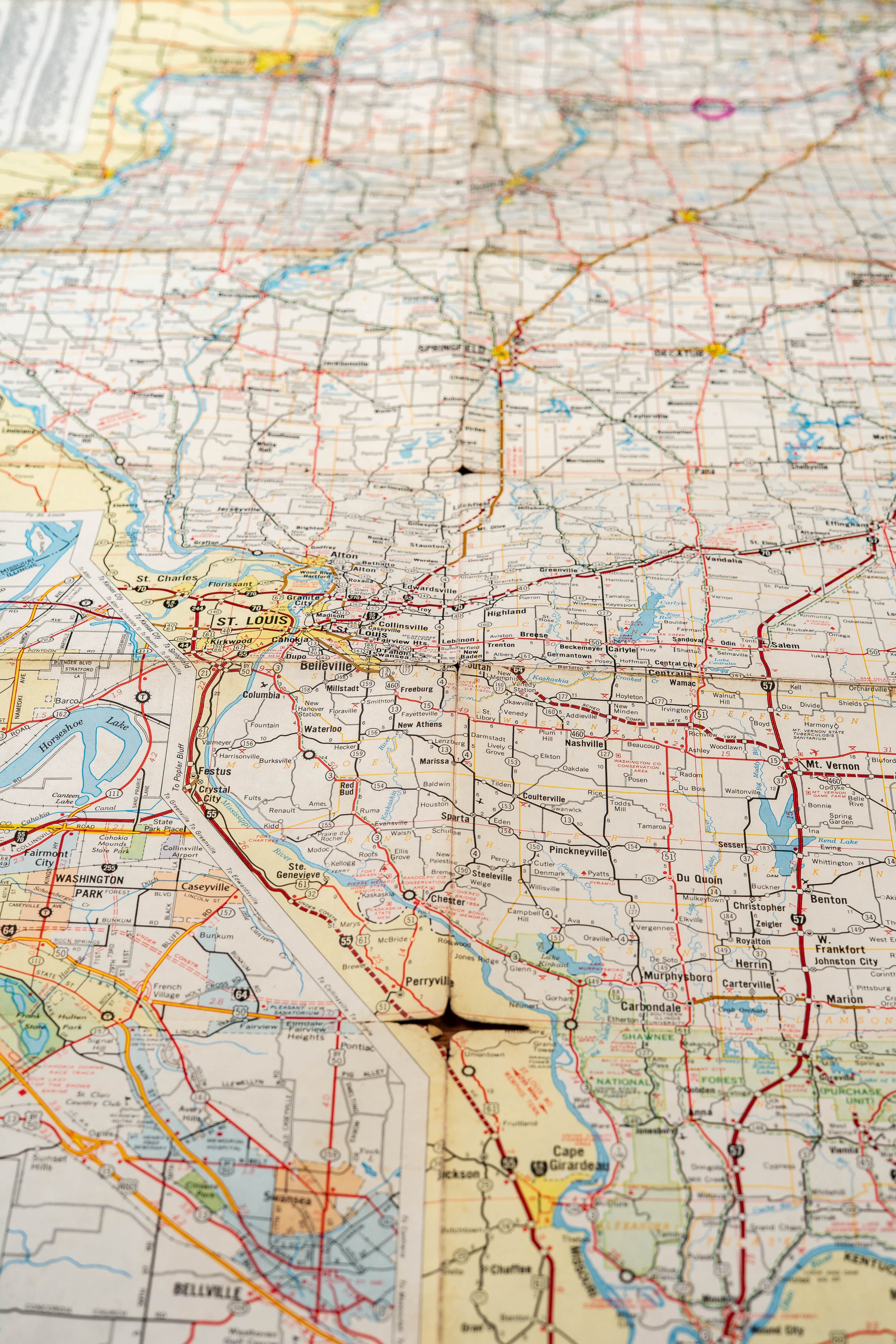
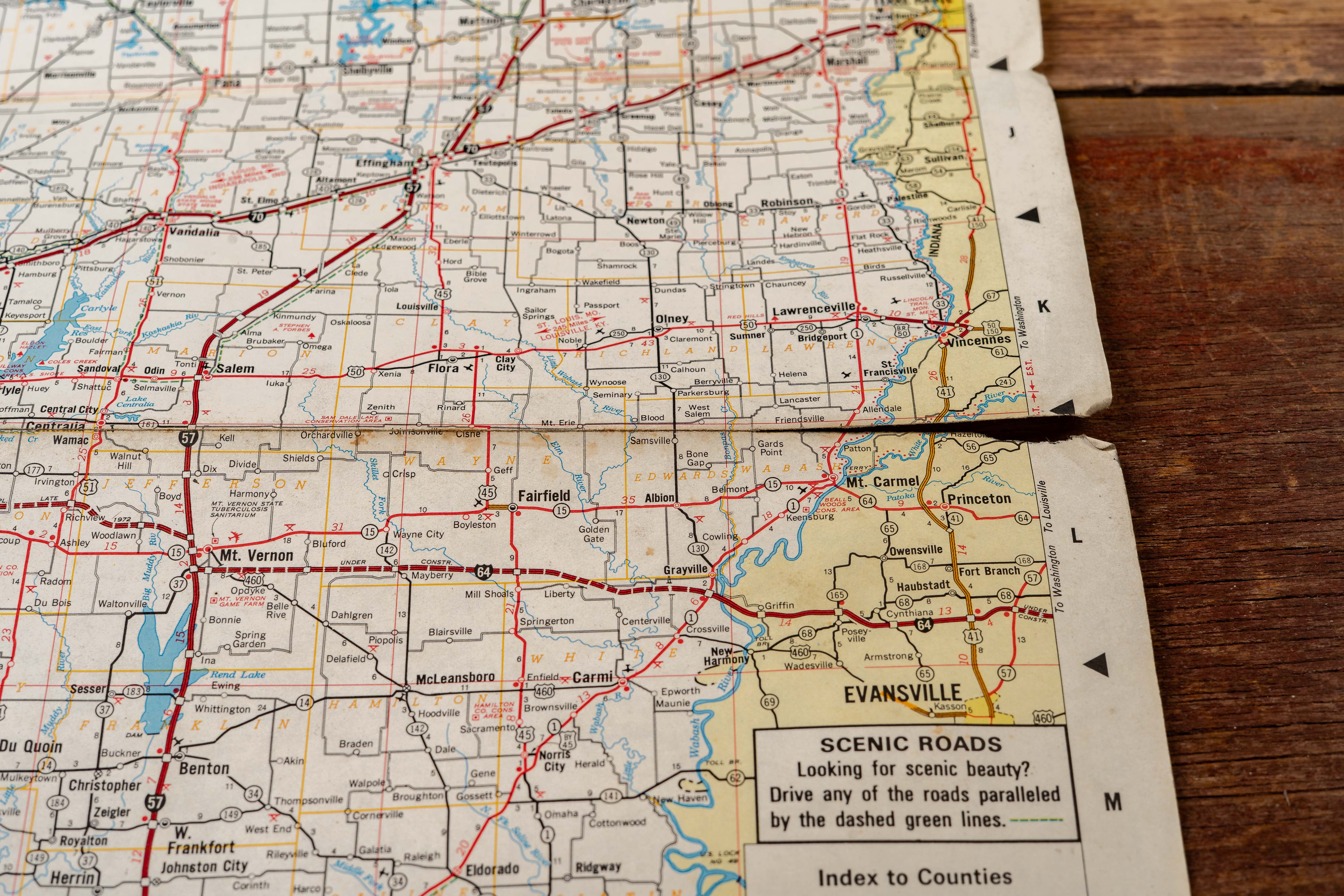
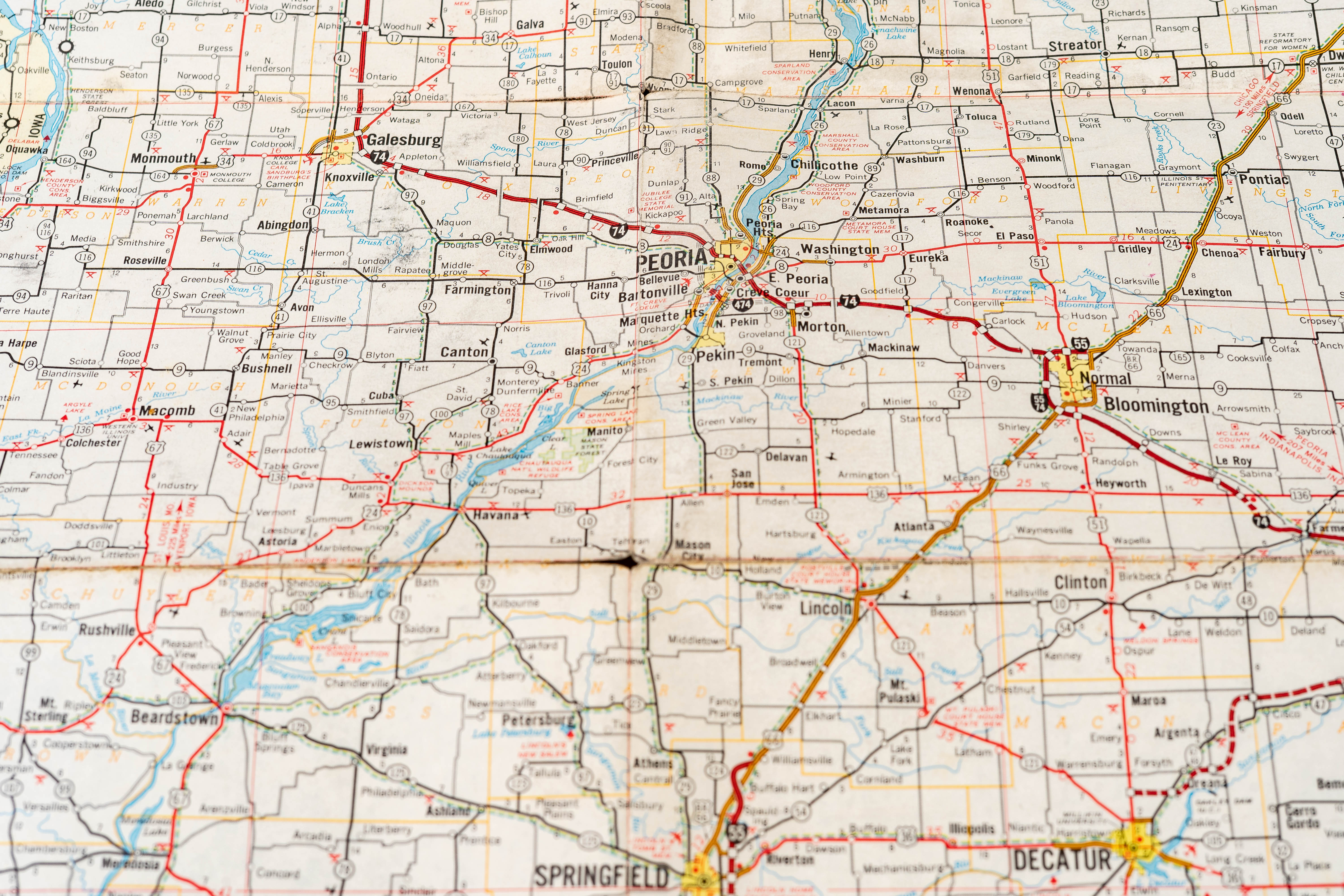
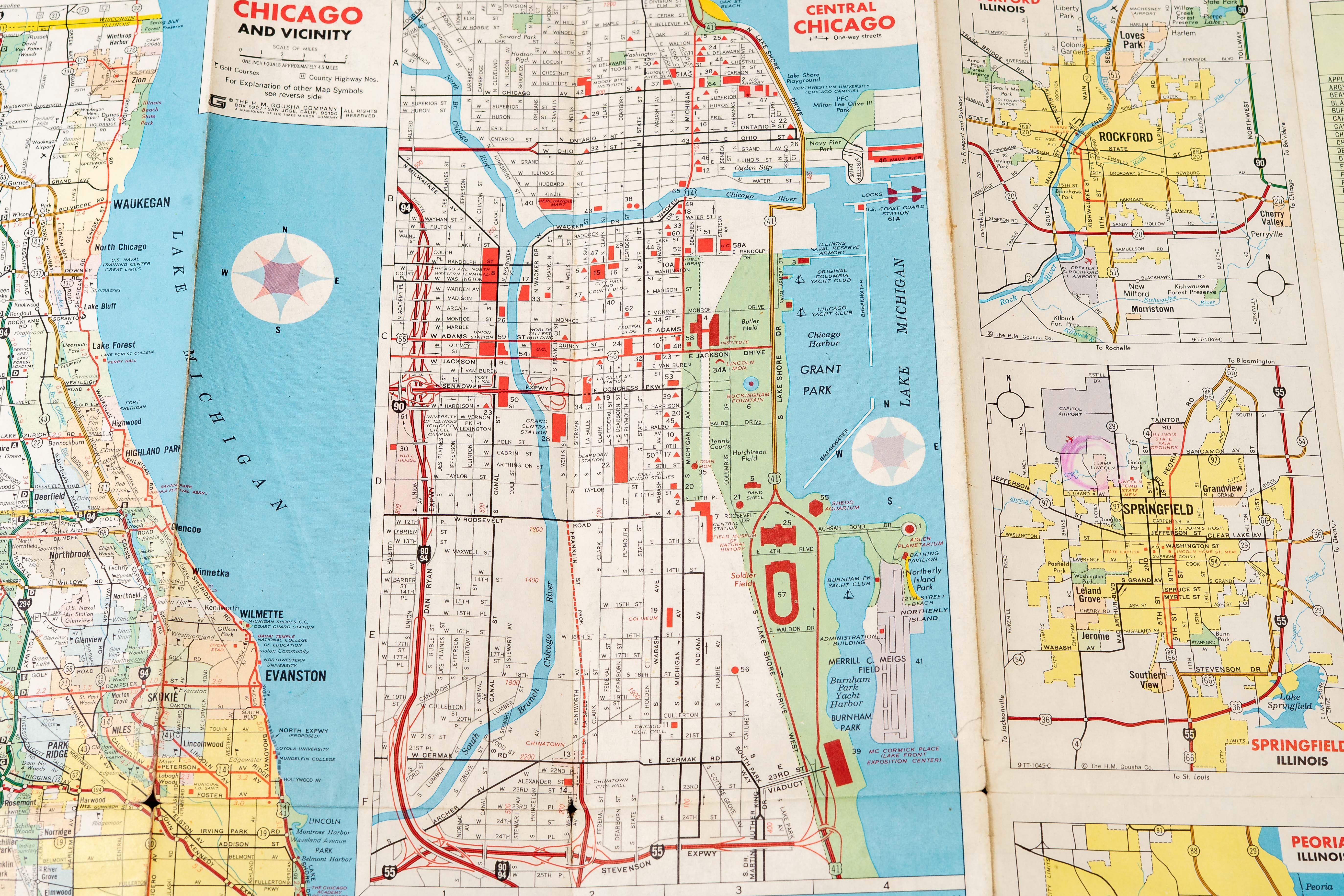
Interior maps present detailed highway networks, mileage charts, and city insets typical of mid-century road cartography. The Illinois example includes a large statewide map with inset St. Louis and vicinity and Chicago and vicinity street maps, along with detailed city diagrams such as central Chicago and Grant Park. These materials illustrate how oil companies promoted both their fuel brands and automobile tourism by providing motorists with free navigation guides and travel suggestions.
Shows moderate age-related wear including fold lines, creased corners, and scattered tearing along fold intersections as shown in the photos. Some covers show toning and handling wear consistent with use as travel maps.
Share this lot: