Multi-Estate Spring 2026 Auction
Lot 453:
Description
C-19538
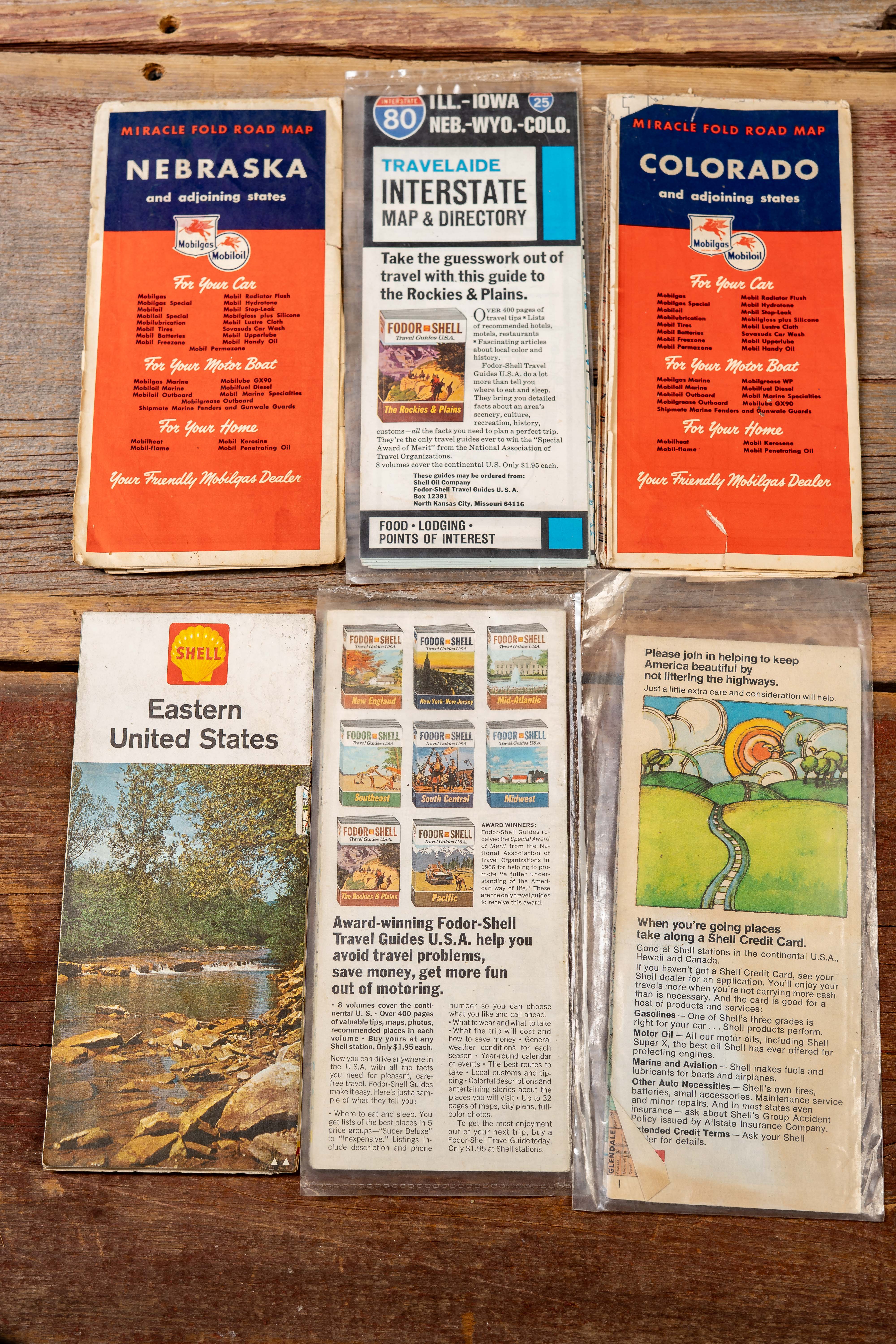
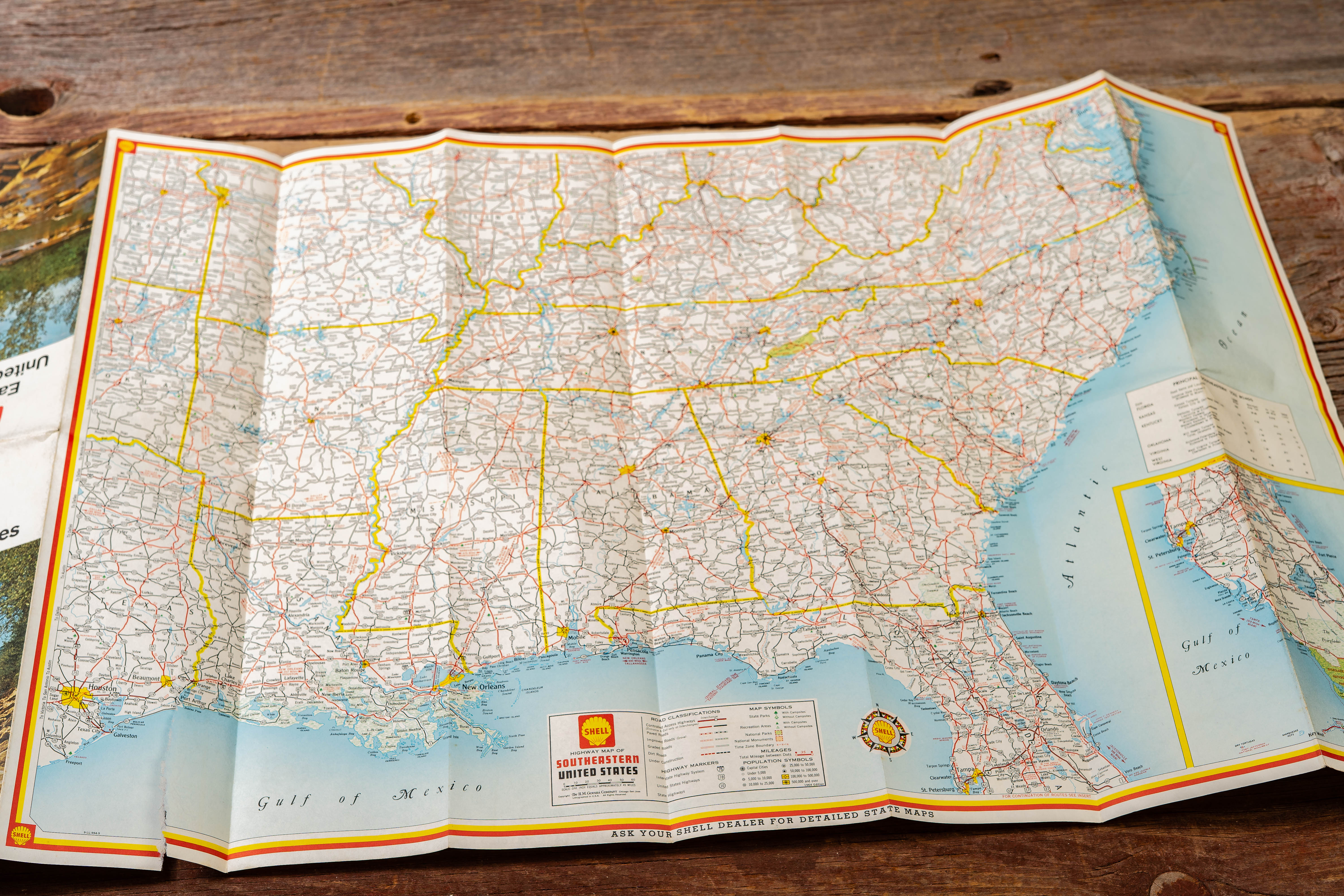
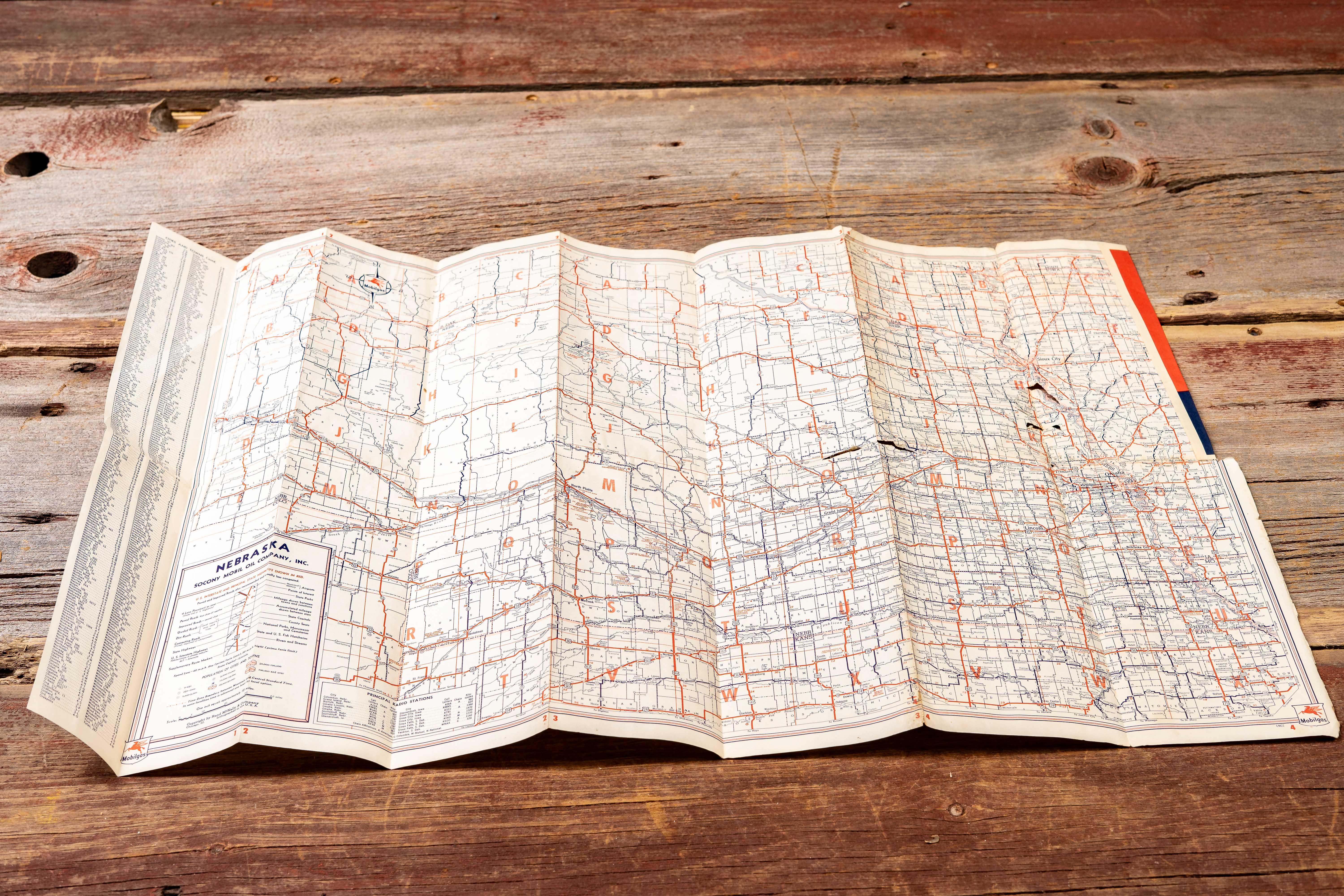
Collection of six mid-century petroleum company road maps and travel guides issued through service stations during the golden age of American highway travel. The group includes Mobilgas “Miracle Fold Road Map” editions for Nebraska and adjoining states and Colorado and adjoining states, a TravelAide Interstate Map & Directory for I-80 (Illinois–Iowa–Nebraska–Wyoming–Colorado), and three Shell-branded travel maps including Eastern United States, Western and Central United States, and a St. Louis metropolitan area guide.
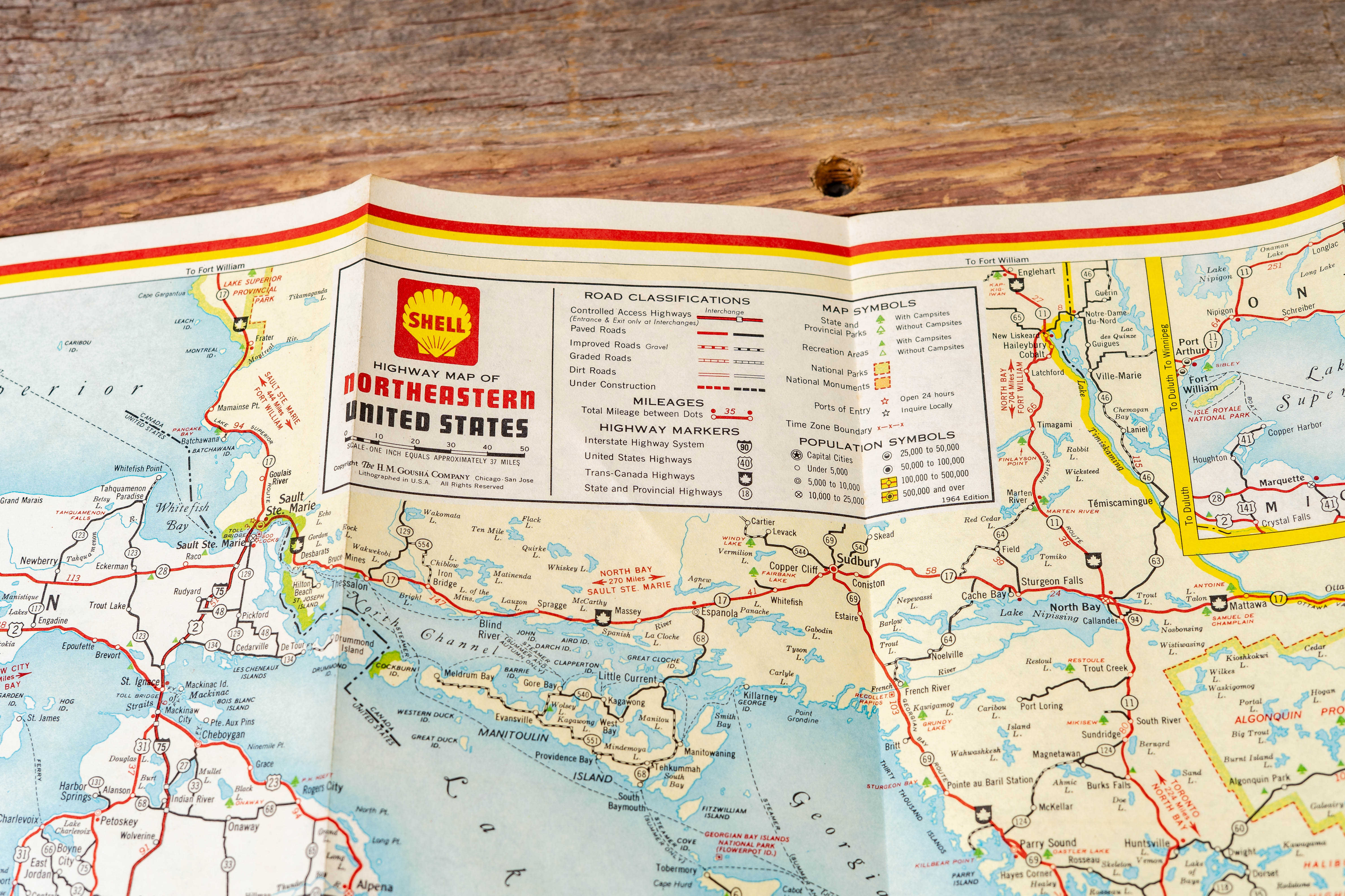
These folding maps illustrate the way oil companies functioned as travel information hubs for motorists navigating the expanding interstate highway system. Covers feature recognizable petroleum branding such as the Mobil Pegasus and Shell scallop logos, while interiors provide detailed highway networks, city insets, and tourist information. The TravelAide directory highlights Interstate 80 service stops with listings for food, lodging, and points of interest, reflecting the growing infrastructure supporting long-distance automobile travel across the Plains and Rockies.
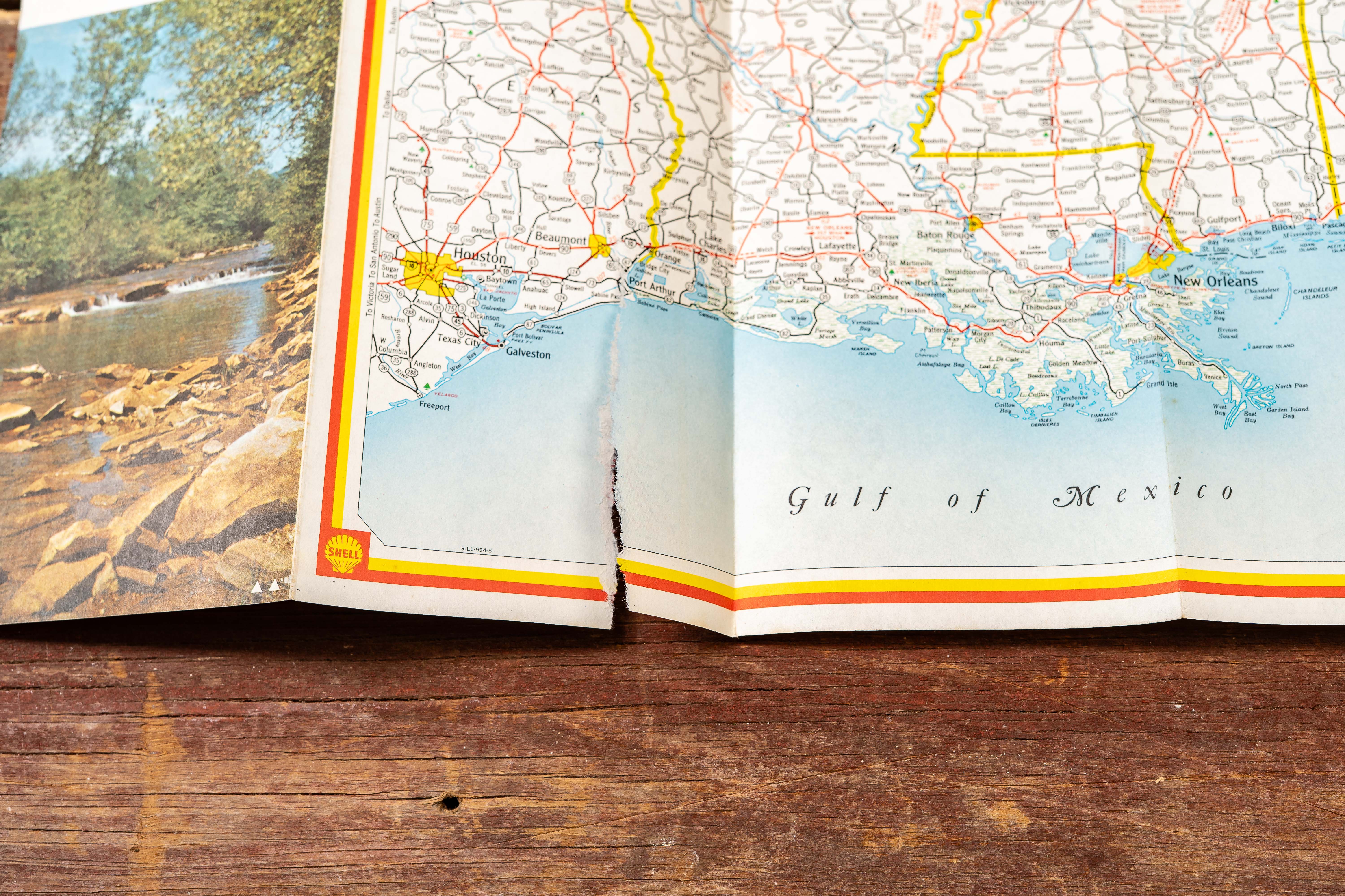
Shows moderate age-related wear including fold lines, creased corners, and scattered tears along fold intersections on some maps as shown. Several examples remain housed in protective sleeves.
Share this lot: