Multi-Estate Spring 2026 Auction
Lot 449:
Description
C-19534
c. 1969; Rand McNally & Company – Chicago, IL, USA
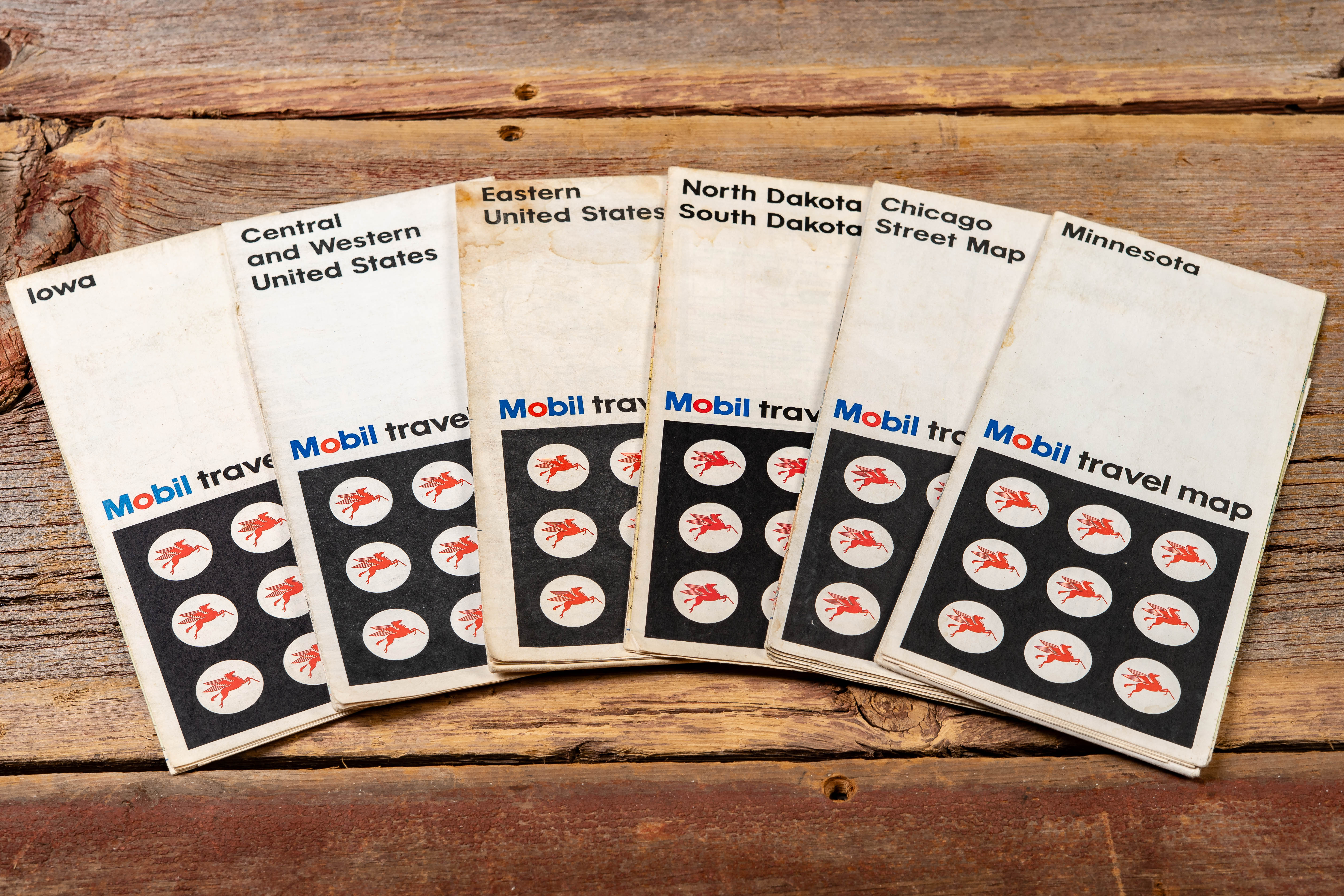
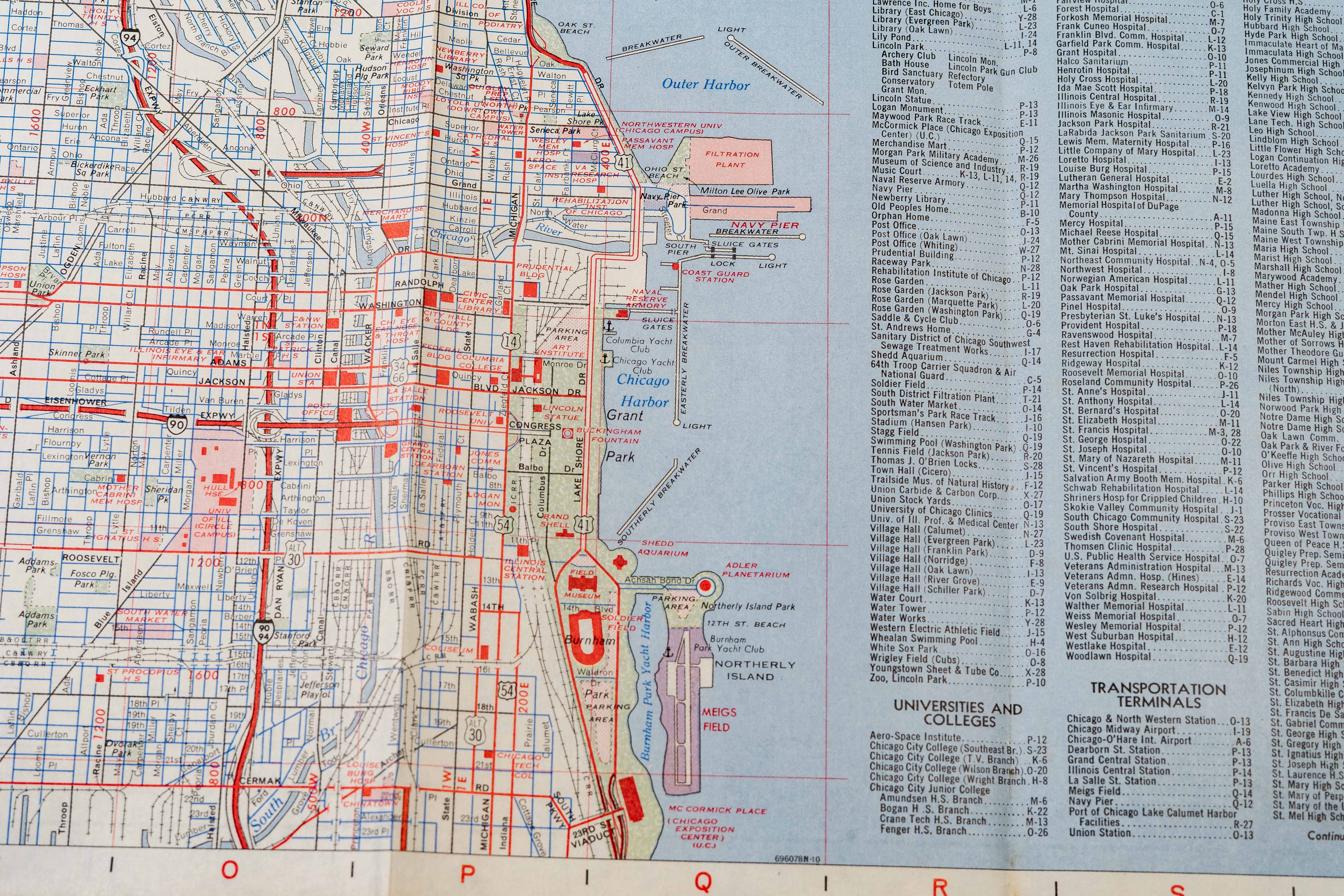
Group of vintage Mobil travel maps issued through Mobil service stations and printed by Rand McNally. The set includes regional and state editions such as Iowa, Minnesota, Central and Western United States, North Dakota and South Dakota, along with a Chicago Street Map. Each cover features the recognizable Mobil Pegasus logos arranged in a grid pattern beneath the “Mobil travel map” title, reflecting the clean, modern branding used by the company during the late 1960s.
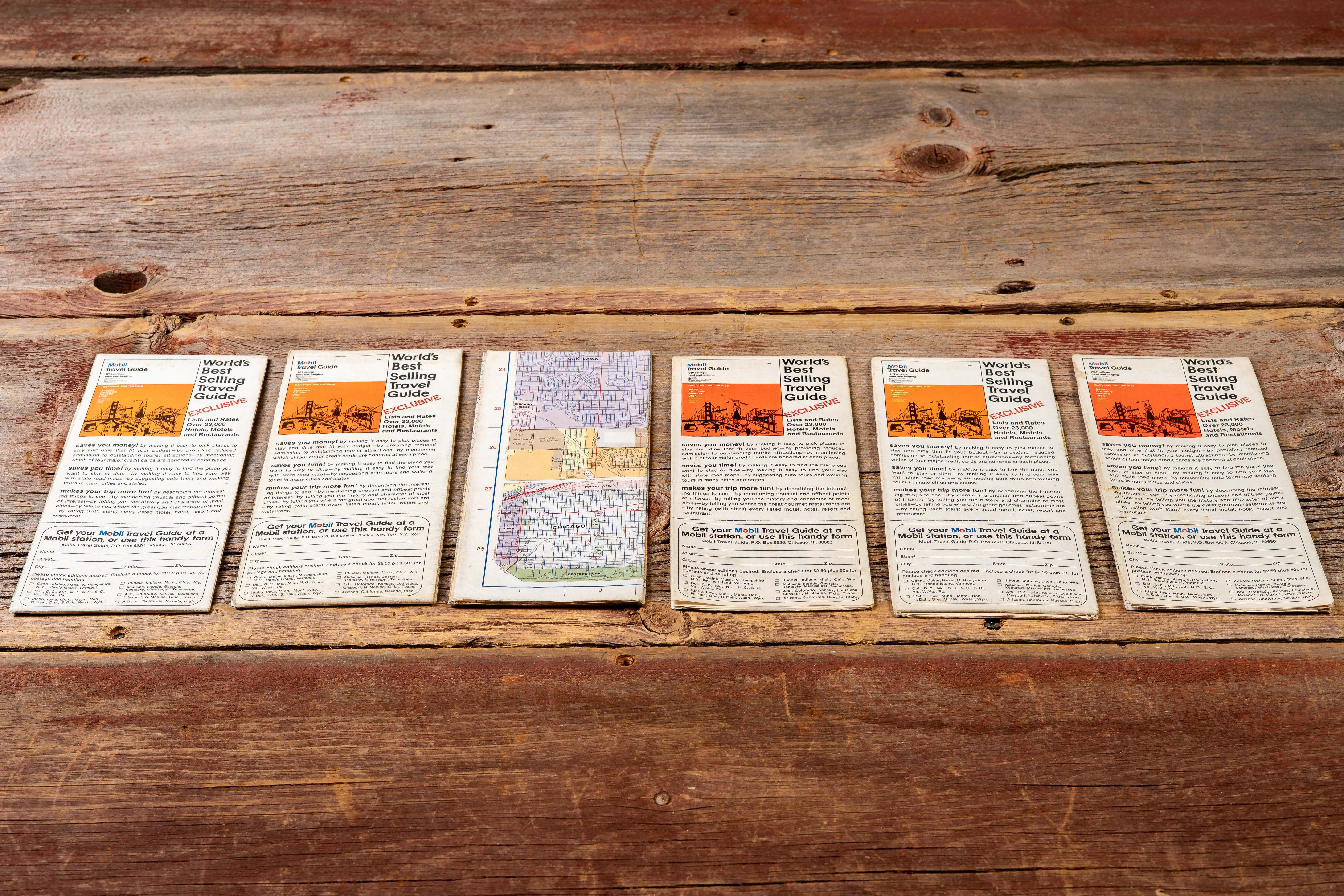
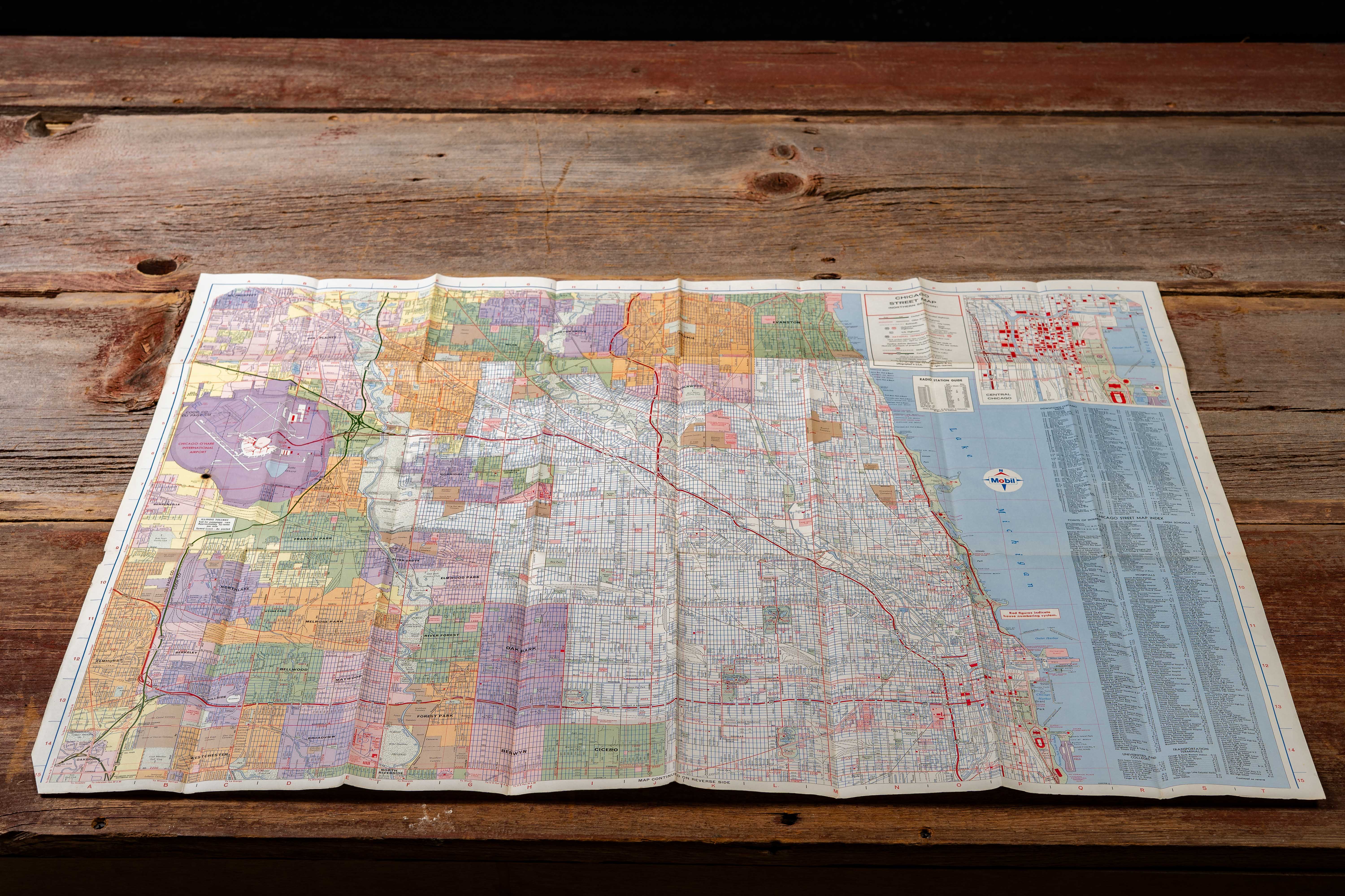
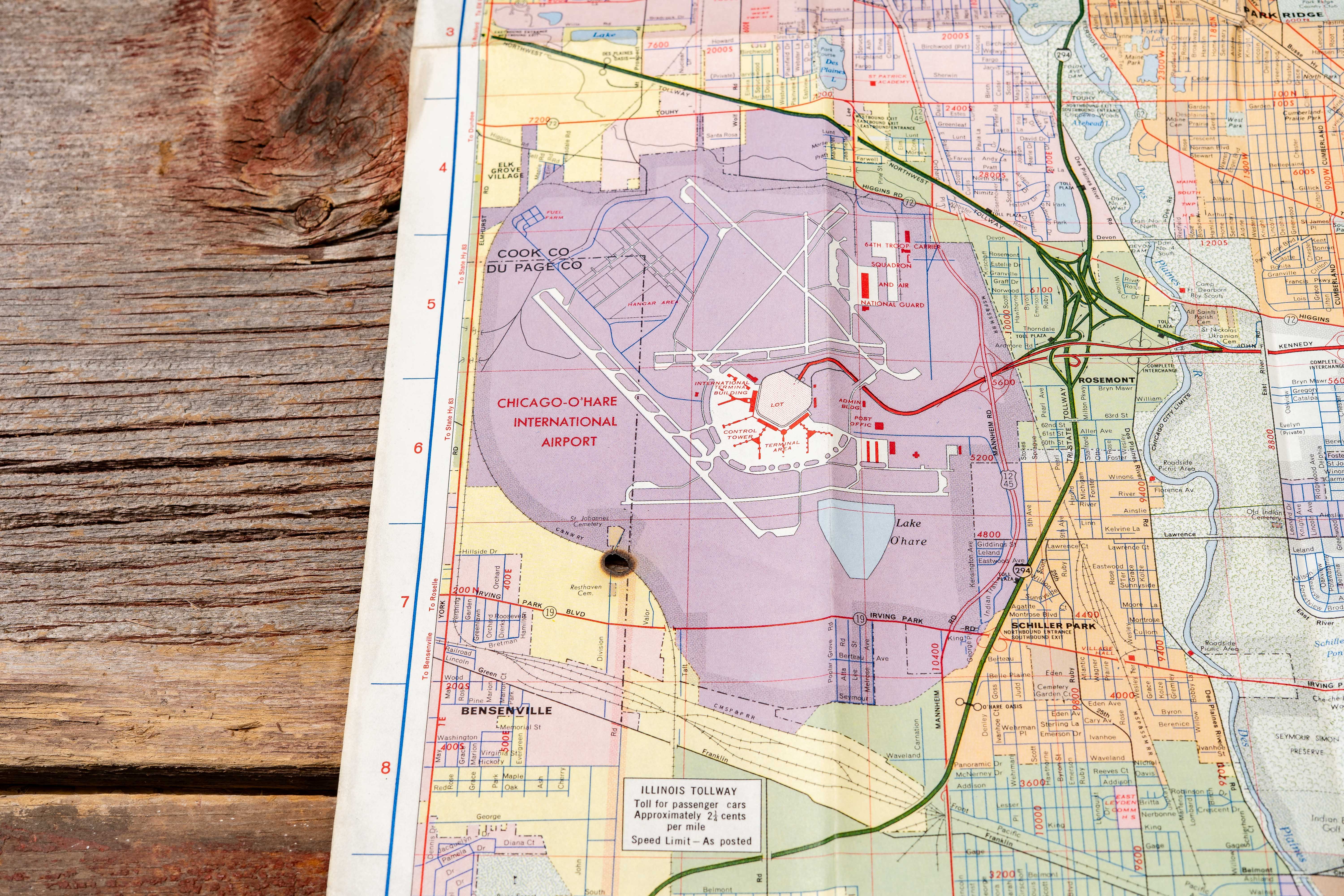
Interiors show detailed highway networks, town grids, route numbers, and points of interest, with the Chicago map featuring an extensive urban street layout including the lakefront, downtown districts, and Chicago–O’Hare International Airport. The reverse sides promote the Mobil Travel Guide, advertised as the “World’s Best Selling Travel Guide, ” which helped travelers locate recommended hotels, restaurants, and roadside stops across the country.
Shows general handling wear consistent with age including fold lines and light toning. The Chicago map exhibits a small cigarette burn visible near the O’Hare International Airport area; otherwise maps appear free from major tears.
Share this lot: